SURVEYING SERVICES type
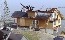
3D Laser scanning
That's the way to go. Real Time Management revolution. 3D Laser scanning measures and captures a ``point cloud`` of 3D coordinates which may be used to form a full digital model or ...
Learn moreTopographic Surveying
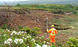
Starting Point of Each Project - We have The Solution. We provide accurate 3-D measurements for your future project. Topographic surveying is a starting point of each project.
Learn moreConstruction Surveying
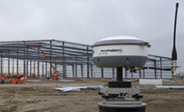
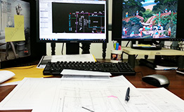
Full range of surveying services for design and construction of civil engineering projects. Robotic surveying system and RTK-GPS has revolutionised the setting out process allowing work at the pole end of the ...
Learn moreMining and Tunneling
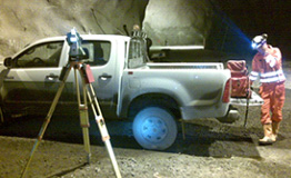
Open-pit, open-cast or open cut mining is a surface mining technique of extracting rock or minerals from the earth by their removal from an open pit or borrow. A tunnel is an ...
Learn moreHydrographical Surveying
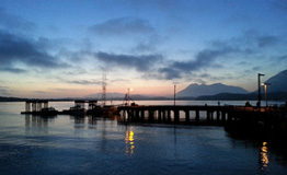
Hydrographic survey is the science of measurement and description of features which affect maritime navigation, marine construction, dredging, offshore oil exploration, offshore oil drilling and related activities. Strong emphasis is placed on ...
Learn moreEngineering
Currently in the process to get our professional engineering designations in British Columbia and Alberta. Both candidates passed NPPE this summer. More about engineering coming soon.
Learn moreUAV Surveying
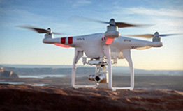
We can provide UAV surveys utilising state of the art fixed-wing and multi-rotor UAV platforms (also known as drones). Using photogrammetric techniques we can provide detailed survey information with the added benefit ...
Learn more